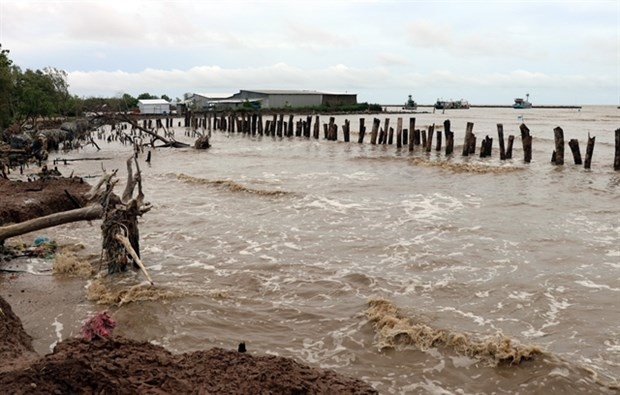
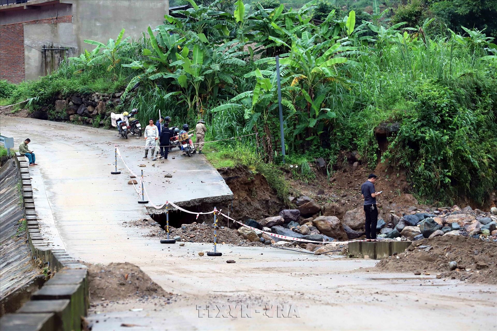
A bridge in Muong La commune, Son La province is damaged after heavy floods. Photo: VNA
Sent to coastal localities from Quang Ninh to An Giang, the directive cited the National Centre for Hydro-Meteorological Forecasting (NCHMF) as saying that from July 24-25, southwesterly winds of level 6, with gusting reaching level 7-8, are expected over waters from Lam Dong to Ho Chi Minh City and the southern East Sea, including around the Truong Sa (Spratly) Special Zone.
A tropical depression east of the Philippines has intensified into Typhoon Noul. As of 13:00 on July 24, the storm packed maximum sustained winds of level 8-9, with gusts up to level 12, were moving west-northwest at about 25 km per hour.
Forecasts show that the storm will enter the northeastern waters of the northern East Sea before making landfall in China's Guangdong province and is unlikely to directly hit Vietnam's mainland.
The committee instructed local authorities to closely track forecasts and warnings from the NCHMF and promptly notify vessel owners, captains and fishermen to take preventive action and adjust production plans.
Authorities were also urged to closely monitor vessels at sea, particularly tourist boats in bays and coastal waters, safeguard residents and property, maintain uninterrupted communications and stand ready to respond to emergencies.
Rescue crews and equipment must be ready for possible incidents, with personnel standing watch around the clock and providing regular updates to the steering committee through the Vietnam Disaster and Dyke Management Authority under the Ministry of Agriculture and Environment.
The same day, the General Staff of the Vietnam People’s Army issued an urgent dispatch ordering military units to gear up for Typhoon Noul and heavy rainfall across the northern midland and mountainous areas.
From the July 24 morning through July 25, northern Vietnam will see moderate to heavy rain and thunderstorms, with widespread totals of 40–100 mm and isolated amounts topping 200 mm./.