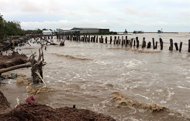
Landfall is forecast for areas between northern Vietnam and Nghe An Province on Tuesday.
Deputy Prime Minister Tran Hong Ha on Sunday chaired a Government meeting with relevant ministries, agencies and localities to coordinate response measures to Typhoon No.3 (Wipha).
The Deputy PM instructed technical agencies to provide an accurate assessment of the storm’s scale, intensity and projected impact area. According to forecasts, the storm may affect both northern and north-central regions of Vietnam, with a large impact zone stretching from Quang Ninh to Ha Tinh and potentially beyond, due to the influence of post-storm circulation.
Given the storm’s complex and fast-changing developments, Deputy PM Ha called for the full mobilisation of central and local forces, with coordinated emergency actions to proactively respond and minimise losses.
Ha also stressed that, following the restructuring of local governments into two-tier systems, provinces and cities must thoroughly review and assess their disaster preparedness, especially ahead of the incoming storm, to ensure that the post-merger government machinery operates effectively and cohesively across all sectors, including flood and storm response.
“Clear assignment of responsibilities and effective coordination between units must be guaranteed,” he emphasised.
According to the National Centre for Hydro-Meteorological Forecasting, as of 9am on 20 July, the centre of the typhoon was located around 670km east of the Quang Ninh–Hâi Phong coastline. The storm was moving rapidly, with its circulation leaning towards the south and west.
The typhoon is expected to enter the Gulf of Tonkin on Monday morning, maintaining wind speeds of level 10–11, with gusts up to level 14. Landfall is forecast for areas between northern Vietnam and Nghe An Province on Tuesday.
From Monday to Wednesday, the Northeast, the Red River Delta, Thanh Hoa, and Nghe An will see heavy to extremely heavy rainfall, with totals ranging from 200–350mm and isolated locations exceeding 600mm. Other areas in the North and North Central regions will receive 100–200mm, with some places experiencing more than 300mm.
As of 6.30am Sunday, according to reports from the Standing Office for Civil Defence, Natural Disaster Prevention and Search and Rescue, and provincial Border Guard Commands, a total of 54,300 vessels with nearly 227,200 crew members had been notified and accounted for, with guidance on the storm’s trajectory to facilitate proactive sheltering measures.
The total area of aquaculture potentially affected by the storm and flooding in coastal provinces from Quang Ninh to Nghe An is 148,834ha, including 20,154 fish cages and 3,743 aquaculture watch huts.
Reservoir levels at Son La, Hoa Binh, Tuyen Quang, and Thac Ba hydropower plants are currently below peak flood season thresholds. On average, water storage in irrigation reservoirs from the northern region to Ha Tinh is at 55–87 percent of designed capacity. Ninety-one reservoirs are undergoing repairs and upgrades.
The Deputy PM also extended his deepest condolences to the families of the victims of the capsizing incident in Ha Long Bay, Quang Ninh. Despite very challenging conditions, rescue forces have essentially completed the recovery of the vessel and the search for victims, although some individuals remain missing. Efforts to mobilise additional personnel and equipment are ongoing to continue the search.
Learning from the Vịnh Xanh 58 disaster, all coastal provinces are asked to tighten control over marine vessel operations, especially tourist boats, to avoid future tragedies like the one in Quang Ninh.