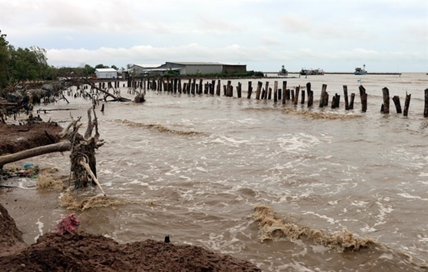
Fishing vessels taking shelter against storm (Photo: VNA)
Typhoon Ragasa is likely to weaken into a tropical depression when it lands the northeastern part of North Vietnam on September 25 afternoon, according to Mai Van Khiem, Director of the National Centre for Hydro-Meteorological Forecasting.
Khiem added that the storm, the ninth of its kind entering the East Sea this year, is gradually weakening and bringing heavy rainfall to the northern region, and the north central provinces of Thanh Hoa and Nghe An, while Typhoon Bualoi has strengthened to level 12.
Due to the impact of Ragasa, strong winds of level 7, gusting to level 8, were recorded in Bach Long Vi special zone of Hai Phong city.
At 7:00 on September 25, its centre was located approximately 100 km east of Mong Cai, Quang Ninh province. The strongest winds near the centre reached level 8 (62–74 km/h), gusting to level 10. It is moving westward at a speed of about 20 km per hour.
By 13:00 the same day, it is forecast to make landfall in the northeastern part of Quang Ninh province with maximum winds at level 6-7, gusting to level 9, then gradually weaken into a tropical depression while moving westward at a speed of 20 km per hour. The affected areas include the northern part of the Gulf of Tonkin, and the coastal areas of Northeastern Vietnam.
By 19:00, the tropical depression over the northeastern part of North Vietnam will have winds below level 6, moving westward at a speed of 20 km per hour and gradually weakening into a low-pressure area.
Due to the impact of the storm, the northern Gulf of Tonkin, including Bach Long Vi, Van Don, Co To and Cat Hai special zones and Hon Dau island, is experiencing strong winds of level 6–7, with areas near the storm’s centre reaching level 8, gusting to level 10. Sea waves are 2–3 metres high, and the sea is rough.
The coastal areas from Quang Ninh to Hai Phong have strong winds of level 6, with some places at level 7, gusting to level 8–9; while inland areas of Northeastern Vietnam are experiencing strong gusts of level 6–7.
From September 25 morning to September 26 night, heavy to very heavy rainfall is expected in the northern region as well as Thanh Hoa and Nghe An provinces, with widespread rainfall of 100–200 mm, and some areas exceeding 300 mm. Caution is advised for urban flooding caused by intense rainfall.
From September 25 to 27, floodings may occur on rivers in the northern region, and the north central province of Thanh Hoa and Nghe An.
According to the National Centre for Hydro-Meteorological Forecasting, on September 25 morning, Typhoon Bualoi strengthened to level 12. It is forecast that around the night of September 26, it will enter the East Sea and become Storm No. 10 in 2025./.