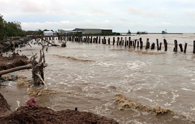
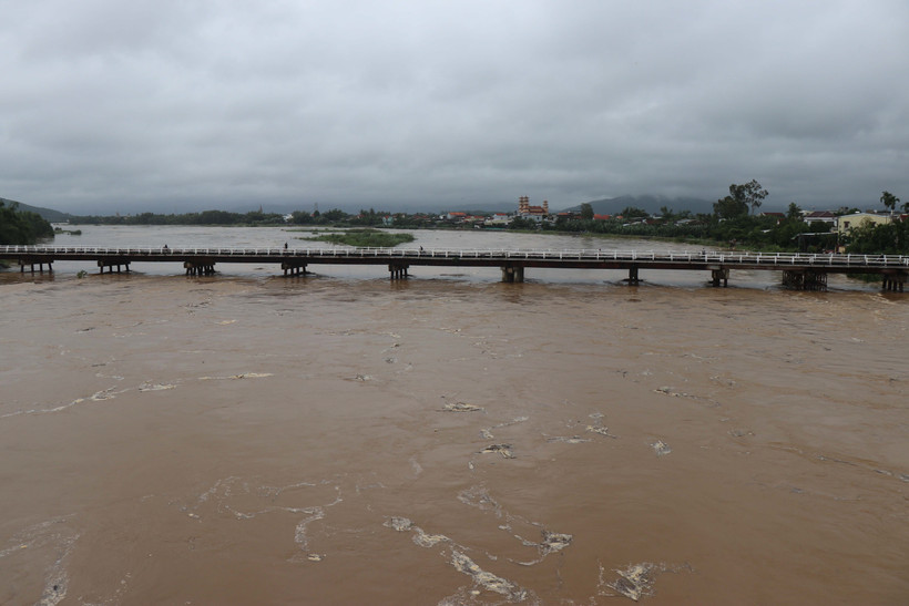
Heavy rainfall continues to batter central Vietnam, triggering severe flooding along major rivers in Hue and Da Nang, according to the National Centre for Hydro-Meteorological Forecasting (NCHMF).
The deluge stems from a combination of atmospheric factors, including a low-altitude cold air mass, a northward movement of the intertropical convergence zone and humid easterly winds at elevations between 1,500m and 5,000m, NCHMF Director Assoc. Prof Mai Van Khiem said, adding that this configuration is a classic driver of prolonged, high-intensity rainfall in the region.
Forecasts indicate that this weather system will remain active over the next two days. From the evening of October 27 through October 29, southern Quang Tri to Da Nang and eastern Quang Ngai face heavy to torrential rains.
Starting the night of October 29 into October 30, as easterly winds begin to weaken, moderate to heavy showers and thunderstorms will target areas from Ha Tinh to Da Nang and eastern Quang Ngai, with accumulations of 50-100 mm and isolated peaks above 200 mm. By October 30 night, intense precipitation should subside in southern areas while migrating northward through central region.
Through mid-December, periodic moderate to heavy rains are likely, especially from Ha Tinh to Da Nang, Khanh Hoa and eastern Quang Ngai to Dak Lak, Khiem said.
Nationwide, November and December rainfall is projected 10%-30% above historical averages in most regions, with scattered excesses.
From now until year-end, two to three tropical storms or depressions could develop in the East Sea, with one or two possibly affecting Vietnam’s mainland, he added./.