The southernmost province of Ca Mau is striving to basically curb erosion along local coastline, riverbanks, and residential areas by 2030 through numerous solutions as climate change impacts worsen.
By 2030, it also looks to complete addressing erosion along the western coast, key areas on the eastern coast, and main rivers. The province strives to largely finish the settlement of erosion along the eastern coast and main rivers, as well as erosion hotspots in residential areas by 2035.
Under a plan on coastal and riverbank erosion prevention and control by 2030, with orientation towards 2050, recently approved by the provincial People’s Committee, Ca Mau will prioritise areas classified as particularly dangerous erosion hotspots, where landslides directly threaten residential areas and key infrastructure along rivers and the coast.
Solutions have been designed to suit local geological and hydrological conditions, combining traditional hard engineering works such as dykes and revetments with soft, nature-based and ecological solutions, including mangrove restoration.
Those solutions will require more than 26.8 trillion VND (over 1 billion USD) in investment to safeguard about 301km of dykes and embankments. They are grouped into three main categories: restoring eroded coastlines, protecting coastal areas, and reinforcing riverbanks.
Beyond construction works, the province is also stepping up non-structural measures, including public awareness campaigns, community disaster-response drills, and stricter inspections and enforcement against illegal construction and production activities that increase erosion risks.
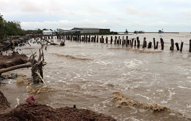
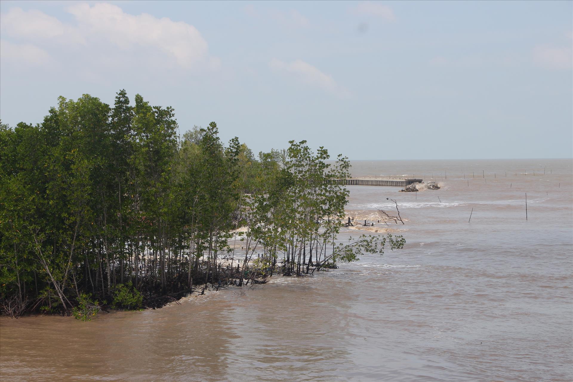
Located at Vietnam’s southernmost tip, Ca Mau borders the sea on three sides, with a coastline of about 310km, more than 200km of which are currently affected by erosion. Its low-lying terrain, exposure to two tidal regimes, weak geological foundations and dense network of rivers and canals make the province especially vulnerable to flooding and landslides.
From 2011 to 2025 alone, coastal erosion wiped out around 6,250ha of land and protection forests, causing heavy damage to sea dykes, sluice gates, roads and embankments, and directly affecting the livelihoods of coastal residents.
Local authorities say the new investment programme is critical to strengthening climate resilience in one of Vietnam’s most exposed provinces as extreme weather and rising sea levels continue to intensify./.